The Bicentennial National Trail cuts through the Condamine Gorge between Killarney and Moogerah, we chose to follow this track from Killarney to the Head then turn sharp right and follow Spring Creek road back to Queen Mary Falls before ending back near Killarney.
At only around 50 Km long, this loop can be done in a day or weekend depending on how much exploring you do of the numerous attractions along the way, there are a number of Bed and Breakfasts, Caravan Parks and Motels in the area but we chose to camp opposite the old hut part way in before starting the main drive the next morning.
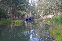
With the river meandering past a few metres away, the area was a nice place to camp although there are no facilities of any sort and the stinging nettles are prolific, care should be taken with young children or you may end up with a ruined weekend.
With over a dozen river crossings the Condamine Gorge track is very dependant on water levels and rainfall and is suitable for soft roaders with the deepest crossing being around 300mm when we went through, if you get through the first one you should be fine for all the rest as they were only around 100mm deeper.
Leaving Killarney we headed towards Legume for about 3 Kms then turned left into Brosnans road where the bitumen turned to dirt as the gap between the hills became evident, the first river crossing was soon upon us as we started to criss cross the river due the steep sides of the hills crowding in on the track.
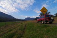
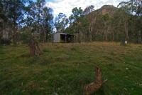
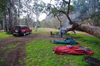
After a few crossings we spied an old hut on the right and pulled up to make camp on the banks of the river straight opposite while we had enough light to collect some wood to guard against the evening chill.
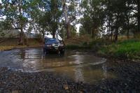
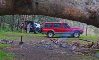
A tree had fallen over but continued to grow making a fairly unique back drop to the existing campfire so we cleaned up the area a little and settled down to enjoy the tranquillity with the only noise being the crackling of the campfire and the rustle of the birds as they searched for their evening meal.
The steep sided gorge prevents the morning sun hitting the campsite until late but it was nice to lay in the swag watching the suns rays light up the cliffs behind the old hut.
When underway again, the Rocky crossing near the campsite was taken slowly as the bottom is rough unless you take the correct line.
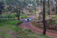
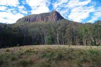
The towering cliffs come into uninterrupted view as you turn the corner and are soon hidden again as you plunge into the trees on yet another crossing.
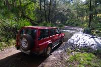
When we arrived at the deepest crossing of them all, we took the opportunity to wash the sand and salt from the previous weekends beach run with a quicker run over the smooth gravel base.
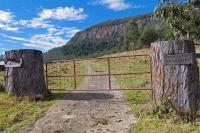
Just after you pass the distinctive gate with its tree trunk posts on the right hand side you get another clear view of the cliffs before you round the corner to a wet section of track which has been repaired using corduroy, the laying of logs side by side to make a solid foundation.
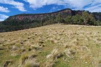
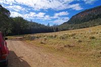
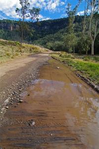
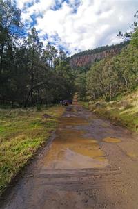
It isn't long until we exit the gorge and reach "The Head" where we turn hard right on to Spring Creek Road and head nearly back the way we came with views back down over the Gorge from higher up.
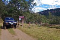
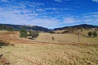
As we climb, the road turns back to bitumen and passes a section of the 5614 kilometre long Wild Dog Fence, the fence originally built to keep rabbits out of South Australia, the fence is now maintained to prevent Dingoes entering sheep grazing areas and runs from Jimbour in Queensland to the Great Australian Bight in South Australia.
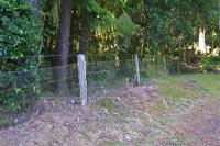
The road travels past several great views of the valleys and hills until it reaches the 40 metre high Queen Mary Falls.
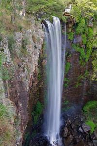
You can cross Spring creek to get to the lookout on the other side and a walking track also winds its way down to the base of the falls before winding its way back to the top again.
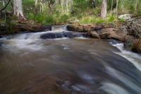
The picnic area at the top of the falls is a popular place with disabled toilets available and a shop and caravan park across the road.

Further down the creek is Daggs Falls with a lookout from beside the road but no walking trails.
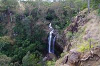
As you reach the bottom of the hills another picnic area at Browns Falls give access to the rugged walk along the creek to the spectacular Browns Falls, This scramble over slippery rocks is not suitable for anyone but the able bodied as there is no formed tracks at all but is well worth the struggle to get there.
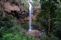
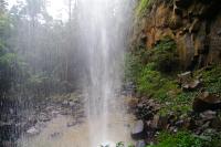
A few kilometres later you are back near Killarney again only 1 kilometre from where you started having passed through some rugged spectacular gorges and cool rainforest with magnificent views from both beneath and above towering cliffs.

1 comment:
Hey there Big Red,
Just a quick question...where is this Old Hut you speak of? We drove this a few weeks ago and commented on how a good camp would make it so much better....Is the Old Hut a designated camp area, National Park or reserve?
Cheers
Stephanie and Andrew
Kids In Tow
Post a Comment