I headed up and over Cunninghams Gap to the Darling Downs ...
Travelling down past Mingoola i headed towards the Southernmost point of Qld.
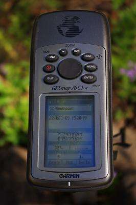
Firstly i headed towards the spot where the Dumarsqe river hits its Southernmost point and took some GPS readings of the southern bank and the northern bank and worked out where the border point was.
Half way between the two is the border so its 219 metres from the water in the river.
The light rain made the black clay soil very very slippery and i slipped down one bank and straight through a barbed wire fence...
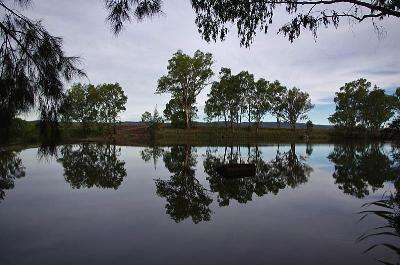
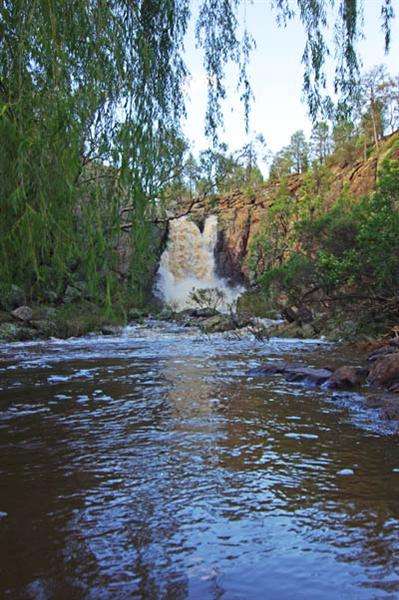
Next i headed a few Kms to the East to the other bend in the river.
I arrived at the marker post beside the road and scouted round through the long grass for an hour without any luck in finding a peg or marker within a 10 metre circle... still not sure what its for but it marks a good spot to leave the car and walk over to the River.
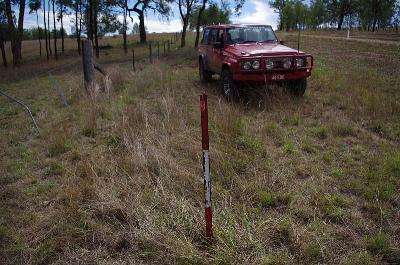
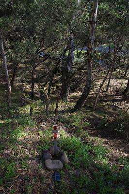
I took the readings of the southern bank and northern bank and worked out that the border is in the water so this spot is the Southpoint and hammered in a marker post on the banks edge...
With that out of the way i headed west to Watsons Crossing but found the gates closed so kept going ... and going ... and going until i found a spot to cross the river at the Bonshaw Weir ...
I continued on to Bonshaw and refueled and checked to see i was getting 14.89L/100km.
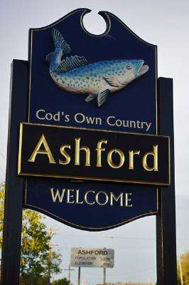
I headed down through Ashford
I continued on through Inverell then up over the mountains to the site of the Myall Creek Massacre... it was dark so i used a torch to read the memorials on the walk.
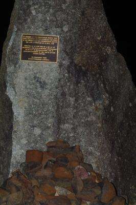
Keep a lookout when you go to the dunny there though!
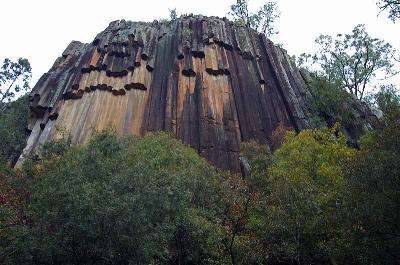
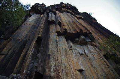
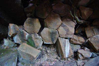
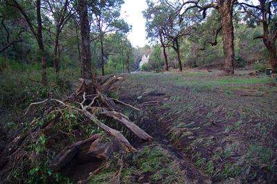
I travelled on for a while longer then rolled out the swag for the night near the Sawn Rocks north east of Narrabri.
Next Morning I walked up to the Sawn Rocks in Kaputar National Park before the sun was up which was lucky as the sun rises over the rocks and the camera would have been pointing straight into the sun ... will have to go back one afternoon to get some better pics.
I refueled at Coonabarabran using 14.52L/100km then stopped at Dubbo when i saw this plane ... it wasn't there when i passed last Xmas.
notice the clear dome on the wing tip.
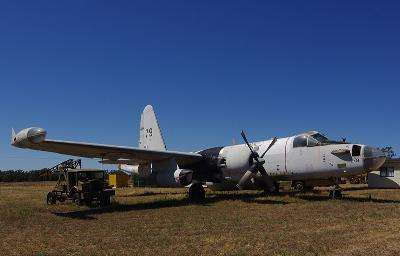
That's an old Lockheed P-2 Neptune (minus it's radar dome) it was one of the first aircraft to be fitted in operational service with both piston and jet engines. The underwing pod beside the propeller engine is the jet assist take-off (JATO) and the bubble on the wing tip is the searchlight for night time maritime work and is 70 million candlepower.
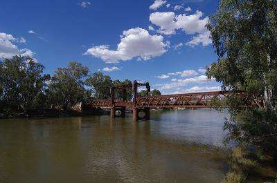
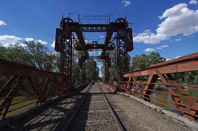
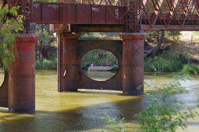
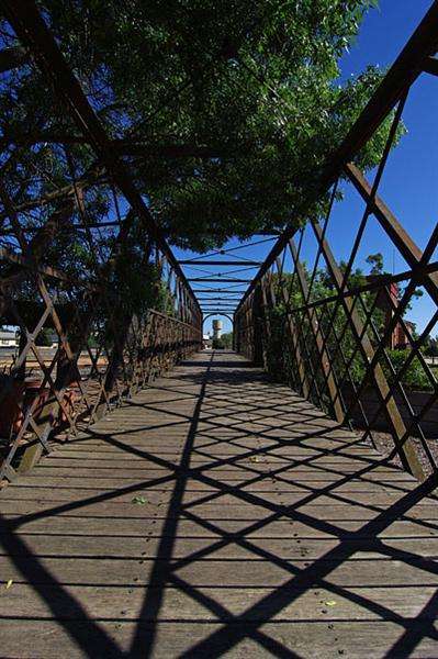
I stopped at an old bridge at Tocumwal for a look...
I did a bit of a test on fuel consumption from Coonabarabran to West Wylong getting 14.21L/100km with the Air con off ... then turned the Aircon on and drove to Shepparton using 14.21L/100km again ...
surprised me as i thought it would use heaps more.
Anyway ...
I took one last pic before reaching Elmore and my parents place where i will spend Xmas.
Christas day day arrived and the tree was looking pretty good ...

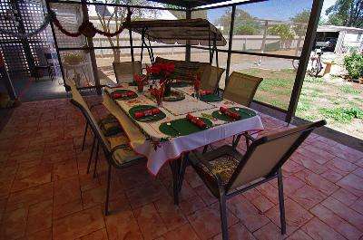
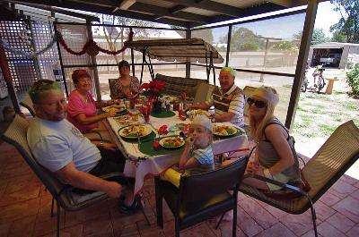
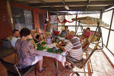
The weather was great so we had Chrismas lunch out under the pergola ...
Elmore is a fairly small town but there is a fair bit to see around the place.
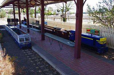
There is the Miniature Railway ...
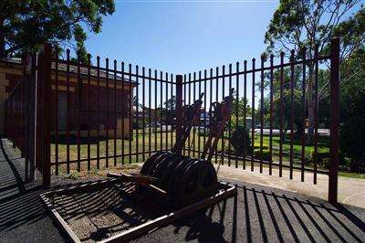
The Rural Discovery Centre ...
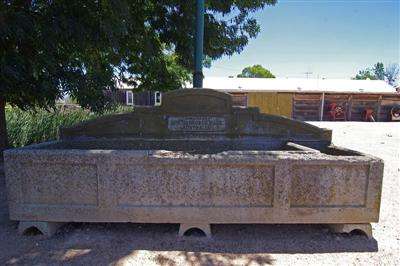
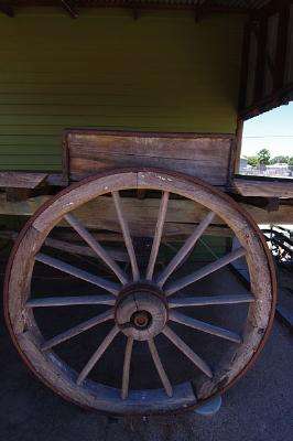
Some great relics of yesteryear

the old Railway station...
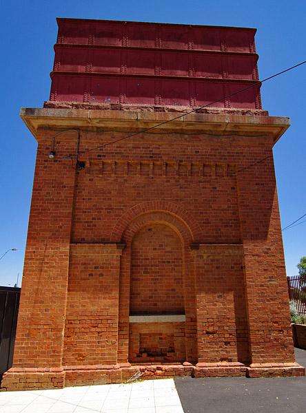
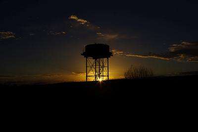
the old water tower...
and even some pretty special mailboxes.

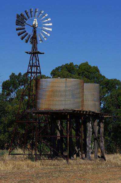
Outside of town is some great rural icons such as this old Windmill
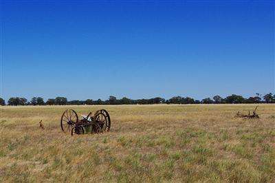
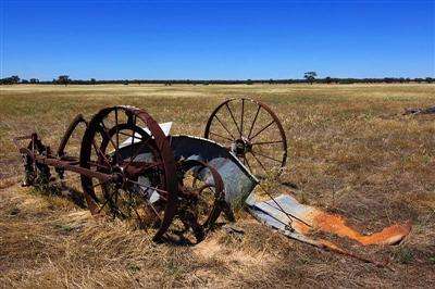
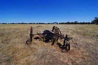
original Sunshine Harvesters...
and that great Aussie sense of humour...

After several enjoyable days it was time to head for home so i decided that since the weather forecast was showing fine and 34 C i would head up through Lake Mungo.
On New Years day i headed off stopping at Echuca for a look around.
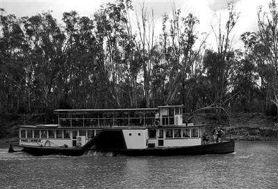
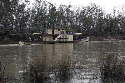
The Old Paddle Steamers now spend their days chugging up and down the Murray with a load of tourists on board ...
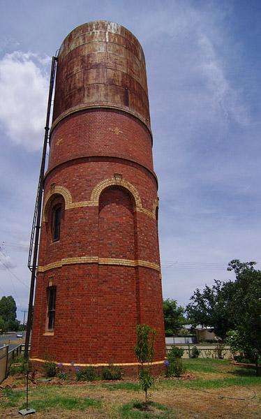
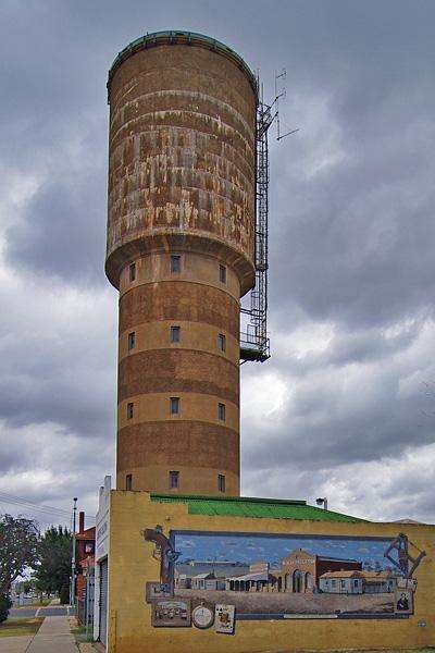
The water tower and mural...

and the Palace of my dreams ... :)

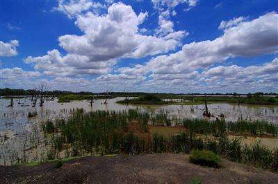
Leaving Echuca i headed up the highway past some wetlands ...
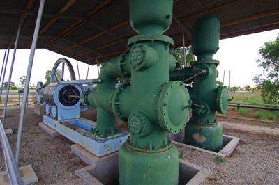
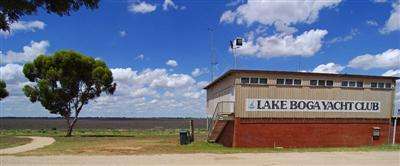
then called in at Lake Boga finding some really huge old Irrigation Pumps
The Lake was completely dry ... not good for the local Yacht Club ...
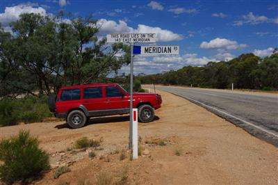
I continued on crossing the 143 Meridian
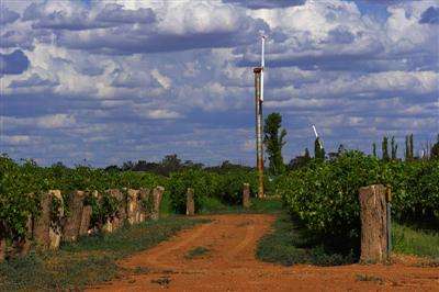
then turned at Mildura and headed North past some wind turbines
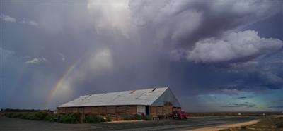
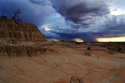
and eventually arrived at the Woolshed at Lake Mungo.
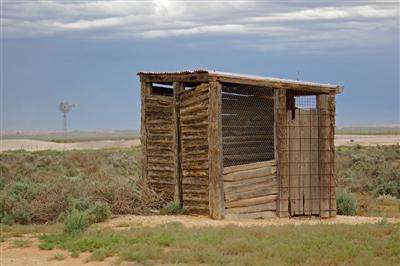
The Dunny with a View ...
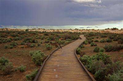
After a short sharp shower of rain i headed out towards the "Walls of China" ... so much for the weather forecast !!
the road was littered with animals drinking from the puddles before they soaked away
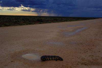
even the water on the boardwalks was being licked up by the Roo's
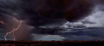
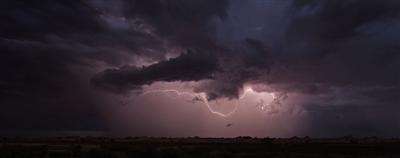
As the sun slipped beneath the horizon the storm put on an awesome lightning show which had me spellbound for a couple of hours.

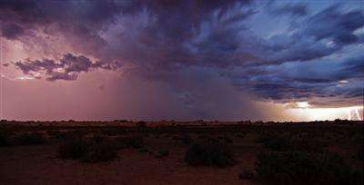
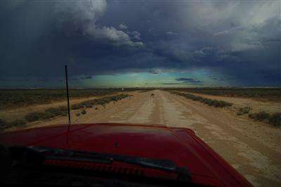
As the storm died down i thought i had better get out of the area before it rained and headed North up through a string of dry lakes on a dirt road raised a little above the surrounding plains.
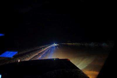
It didn't rain ... it bucketed down !!
Starting about half an hour after i left the heavens opened with almost non stop lightning flashes lighting up the surrounding dry lake which were now rapidly filling and narrowing the already slim strip of dirt to only a couple of metres of slippery dirt holding its precarious head above water.
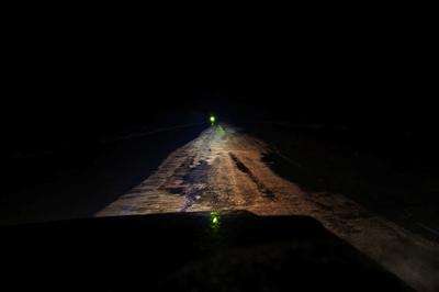
With nowhere to stop and the sides of the road under water i battled on for the next couple of hours as the road itself finally went under water slowing me to a crawl...
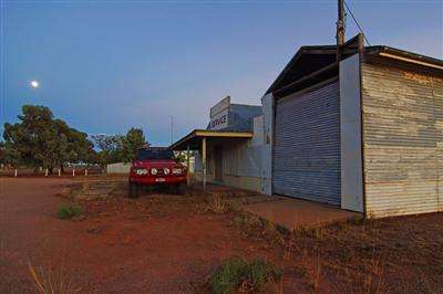
Eventually i found myself in the small town of Ivanhoe and rolled the swag out under the awning of an old abandoned service station and had a couple of hours sleep as the rain eased and finally stopped.
The sun rose to a beautiful day as the clouds disappeared ...
As i needed fuel i had a look around town while waiting for something to open.

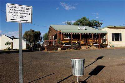
I love this sign outside the pub ... LOL
About 5 hours after waking up the cafe opened and had some fuel available so i filled up and headed north on the drying road north ...
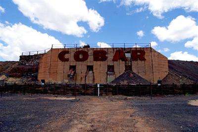
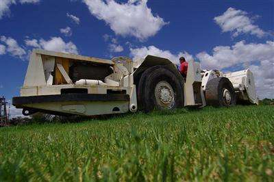
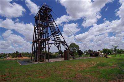
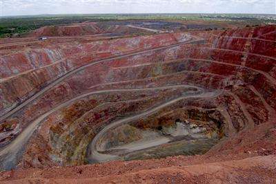
A few hours later i left the dirt roads behind and pulled into the Copper mining town of Cobar [named after the local Aboriginals attempt to say "copper"] for a look around...
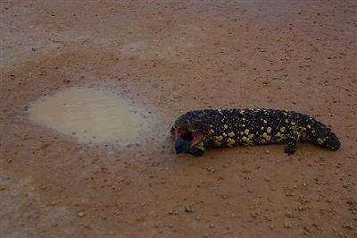
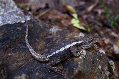
Along the highway i pulled into a rest stop but the recent floods had washed just about everything away wiping the area clear ...
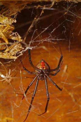
It didn't seem to worry the this baby water dragon as it searched through the debris for a meal...
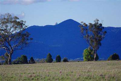
Continueing North i passed the Siding Spring Observatory sitting up on top of the distant range...
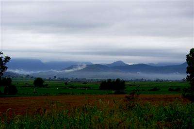
As i neared Cunninhams Gap the mist shrouded mountains welcomed me back to South East Queensland and the end of my trip.