Normally the trip from the Gold Coast through Beaudesert and Aratula takes about 2 hours and i have done it several times lately.
I shortened the trip by staying with friends at Mudgeerabe on Friday night and left about 11 AM saturday morning via Currumbin Valley.
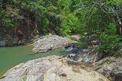
While i was in the area i took a slight detour to Currumbin Rock Pool...


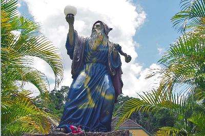
on the way back to my route i passed a Wizard ...
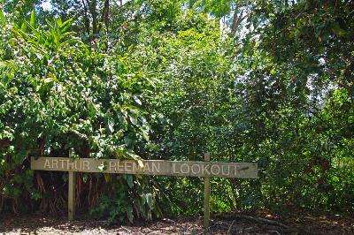
then stopped at a lookout to see the view ...
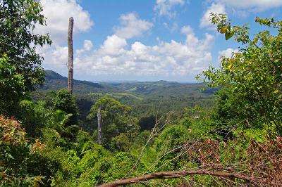
down the hill a bit the view gets a bit better ...

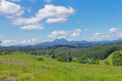
Climbing further into the range the views are pretty good ...
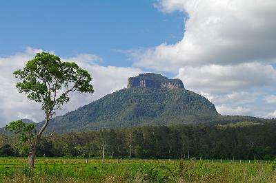
As i dropped down into Murwillumbah i could see Mt Warning to the south west of me ...

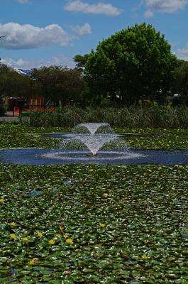
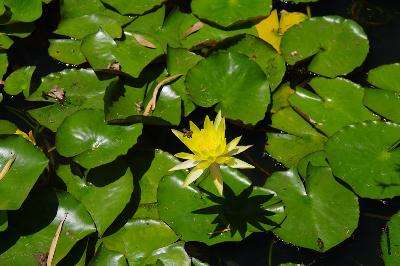
I grabbed some lunch and relaxed by the lake in town to eat it...
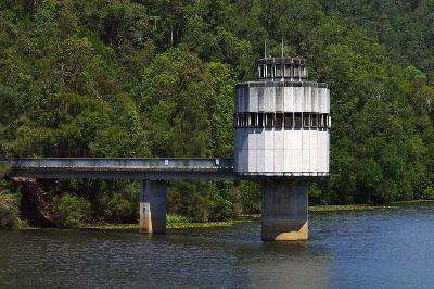
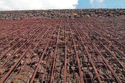
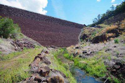
I took a 1Km detour up to Clarrie Hall Dam for a look...
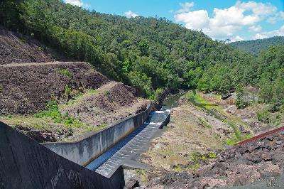
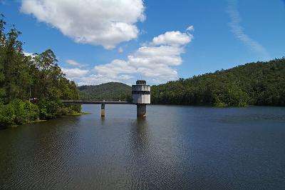
looks a bit Alien ...
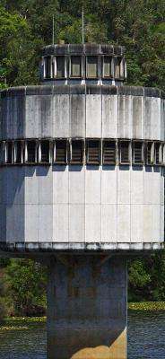
I wandered down to the base for a look...


I hit the road for Kyogle again with Mt Warning now to the north of me ...
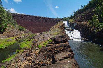
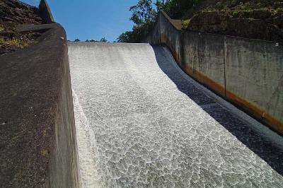
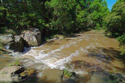
As i was traveling just past a small town [Mt Burrel i think] i spotted a small waterfall on the Tweed River and stopped for a look.
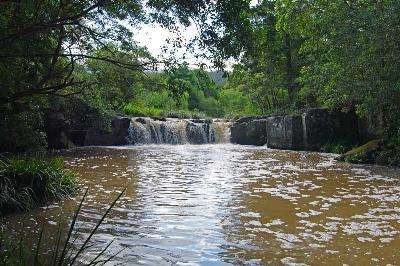
The rock is in huge square blocks at this spot...

As i continued on Mt Warning was now to the east of me...
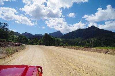
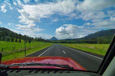
Mt Lindsay now came into view ...
By null at 2010-11-13
I crossed over the range and stopped in at Woodenbong for an Iced Coffee ... this place must take the cake for the worst sealed roads in Australia !!
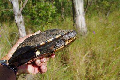
anyway ... as i was heading for Legume a straddled a long necked tortoise/turtle [seems to be named both] who was wandering up the middle of the road so i stopped and picked it up before it got run over.
i dropped it back in a nearby pond.
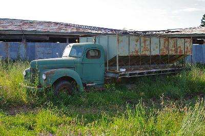
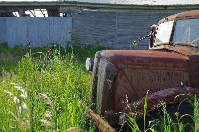
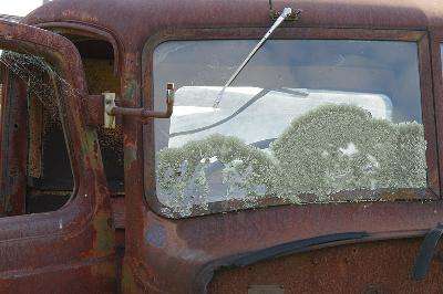
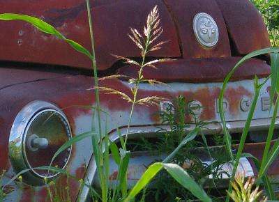
At Emu Vale there were a number of old trucks on the side of the road so i stopped for a look ...
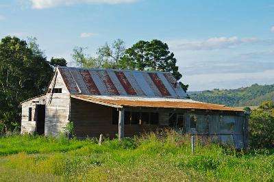
I decided to try out Cooper Gully road that headed up Mt Sturt but it wasn't on my map so had no idea if it went anywhere ... at the top was an old shack with a great view ...
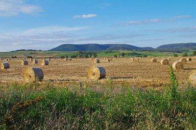
the dirt road did eventually come out near the highway after passing through some more farmland.
Then it was a quick jaunt up to Janowen 4WD park arriving at 5:30 PM.
not a bad Sunday drive for a Saturday :)

1 comment:
I'd have to agree with you about the road near Woodenbong, I reckon the Woodenbong to Legume stretch is the worst tarred road I have even been over. I'd rather drive on dirt, at least you expect bumps!
Post a Comment