A confluence is defined as a flowing together; a meeting place (often of rivers).
In this case a degree confluence is the exact spot where an integer degree of latitude and an integer degree of longitude meet, such as 28°00'00"S 153°00'00"E. The project uses the WGS84 datum to define the confluence location.
There is a Project and Website dedicated to visiting them all world wide
http://confluence.org
In Queensland there are 153 Confluences in total so i'll start there.
http://confluence.org/visitor.php?id=19074
28°00'000"S 153°00'000"E
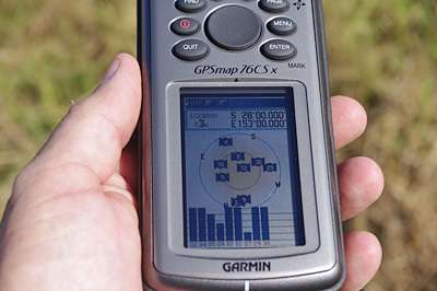
23-Apr-2010:
Leaving the Gold Coast and heading to a 4WD competition at Goomburra i had to pass through the Township of Beaudesert and thought i would have a crack at finding my first Confluence. I punched in the Co-ordinates as i came into town then turned right for Kerry and it wasn't long before i found the mark was behind a row of houses and appeared to be in a recently slashed paddock. At the town end of the row of houses was a gate leading into the paddock so I headed off on the short walk to the mark. As i got closer i was concentrating on working out how to operate the GPSR while I zig-zagged across the paddock and felt someone watching me ... turned out to be about a dozen or so cows! It must have looked a bit strange to see a bloke leading a mob of cows around in ever diminishing circles in the middle of a paddock !! Anyway, I found the spot and noticed a wooden stake lying on the ground at the spot which may heve been run over by the slasher? I took a few pics and then headed back to the car. No Cows were hurt in the making of this post although a few may be slightly dizzy :)
North View
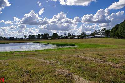
East View

South View
West View
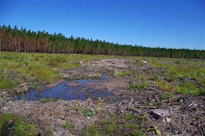
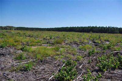
27°00'000"S 153°00'000"E
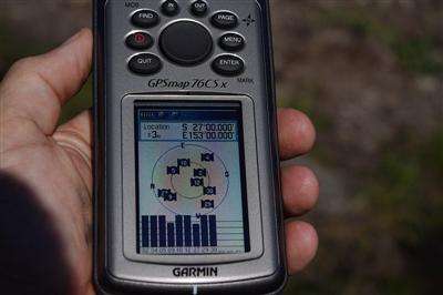
30-Apr-10:
I was on my way up to visit a crook mate on my way through to another 4WD competition and was passing close to this convergence and thought i would drop in quickly and grab it ...turned out not so easy.
I found the general area but the GPSR would not point to the convergence so i had to circle around to get the spot.
The general area:
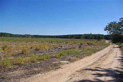
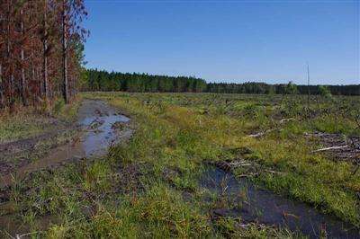
The forest had been cleared and recent rain made it very swampy so after nearly bogging the 4WD a couple of times i parked it and navigated my way through the maze of water and mud on foot to find the spot.
The muddy tracks:
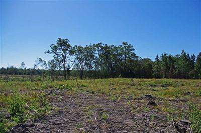
I found the spot and took the required pics.
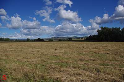
North View:
East View:

South View:
West View:
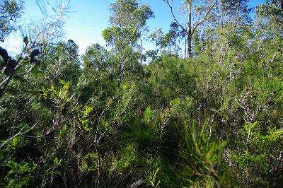
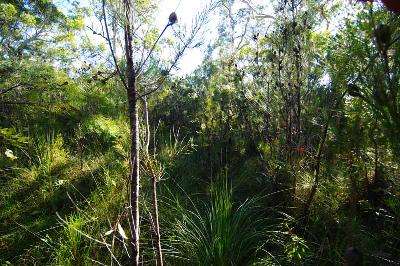
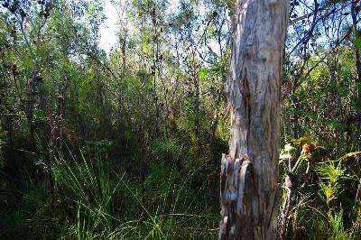
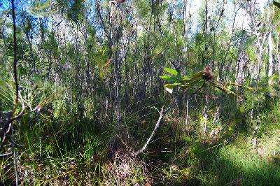
26°00'000"S 153°00'000"E

30-May-2010:
After an early morning viewing of the Dolphins at Tin Can Bay i wandered over to the confluence area. The heavey dew had me soaked within a few metres as it is about 150 metres of fairly heavy scrub to walk through from the road. Plenty of small spiders webs were shining brightly with their layers of dew clinging to the strands. I was soon finished and on my way again.
Looking across the road at the direction of the confluence 150 metres away...

The confluence...
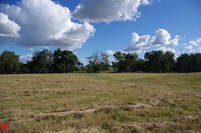
The View North...
The view East...
The view South...
The view West...

